Introduction
SAP-GEOMAP (ui5-geomap)
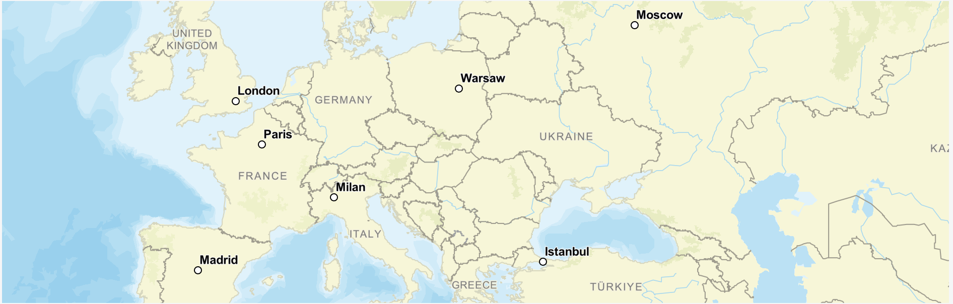
ui5-geomap is a SAP Web Component leveraging the UI5 Web Components framework. It is built on top of UI5 Web Components and is meant to serve as a tool for visualizing a map with vector tiles and geospatial data.
The UI5 Geomap component can be used with any HTML-based web UI framework.
UI5 Geomap is a web component that can visualize GeoJSON data from various map/tile providers like ESRI, MapBox, Azure maps, SAP HSS, etc.
It can mix the tiles provided by the map provider and GeoJSON describing features ad layers coming from another source(s) and visualize the different layers to represent these features. Some of the main map features are:
- Visualize, pan, zoom, rotate, tilt the map
- Supports different features like point, line string, polygon, etc.
- Highly customizable markers on the fly
- Clustering of objects on the map when zoom in/out
- Fly to/perfect zoom
- Showing scale and copyright info
- Selection of objects
- Various events to allow the app to implement context menu, act on pan/zoom, map rendering, etc.
Third-Party Software
This project includes the following third-party open source software components. Each component is subject to its own license terms.